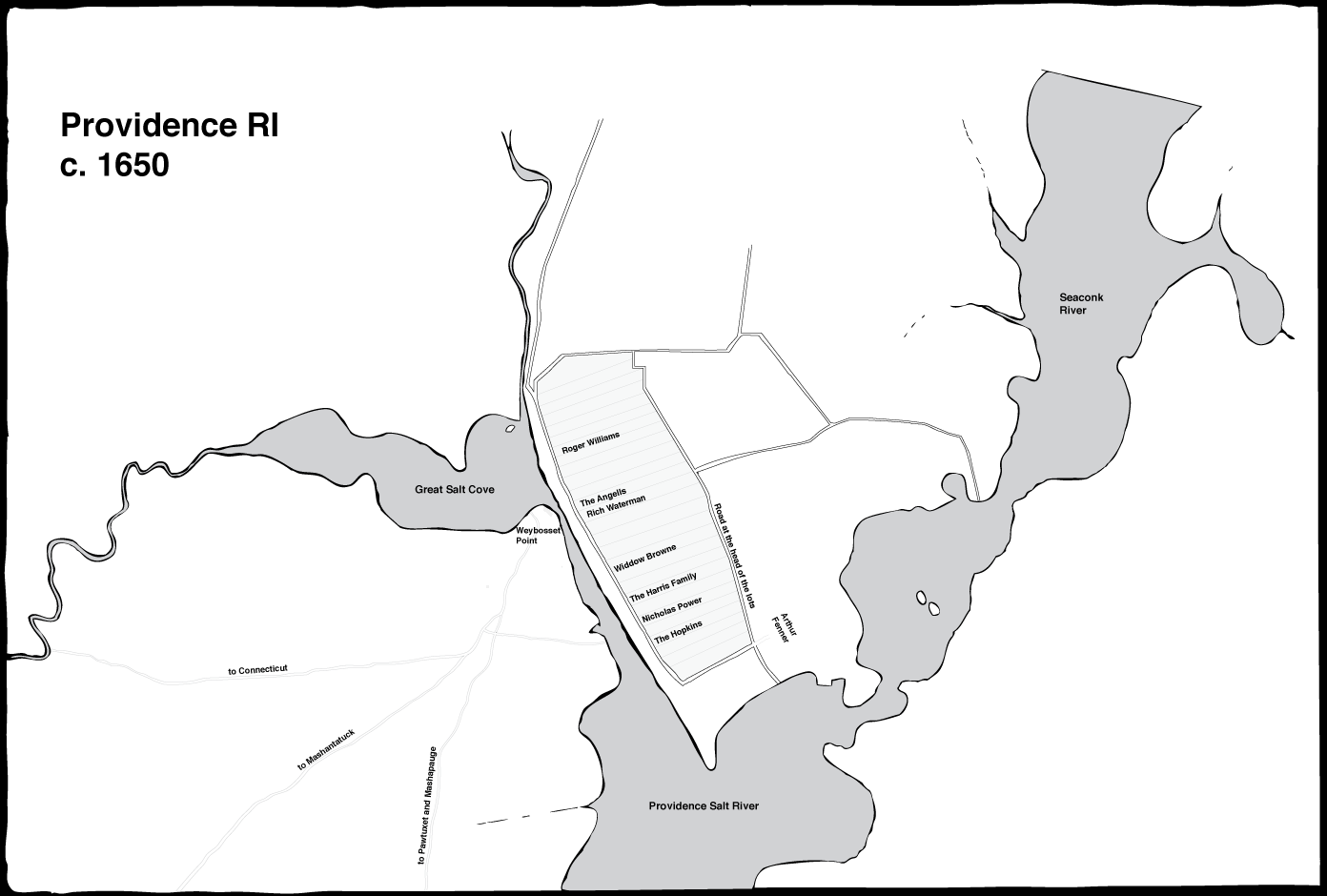
The following map is a recreation of what Providence looked like in 1650.
The following map is a recreation of what Providence looked like in 1820.
Map References :
- Anthony, Daniel, “Map of the town of Providence : from actual survey” [map]. Scale not given. 58 x 86 cm. Providence: 1823.
- Chace, Henry R., Owners and occupants of the lots, houses and shops in the town of Providence, Rhode Island, in 1798. Salem, MA: Higginson, 1998.


