In and Out of Place: Resource Extractions from Treaty Lands
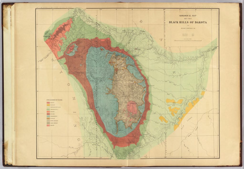
In and Out of Place: Resource Extractions from Treaty Lands uses a decolonizing, collaborative and Lakotan-centered approach to map scientific and military expeditions that entered the 1868 Treaty Territory in the Black Hills region from the mid-19th century to the turn of the 20th century. The project is a prototype map tracking Custer’s and other expeditions’ day-by-day travels across Treaty lands, contextualized with newspaper reports, journal entries, and other primary sources. “In and Out of Place” aims to generate interest and conversation among Lakotan and other Indigenous communities impacted by this history.
The project hopes to receive feedback from communities to guide its future directions and offer a space to think critically about the role of maps and other “objective” modes of scientific representation in the long history of American imperialism and settler colonialism.
Contributors: Craig Howe (co‑PI, CAIRNS); Lukas Rieppel (co‑PI); Tarika Sankar (CDS Lead); Khanh Vo (Digital Methods Lead); Audrey Wijono, Owen Blair, Cormac Collins, Dante Cavaz, Sofia Gonzalez, and Colten Edelman